To be privately owned
CastleFambach
Todenwarth Castle
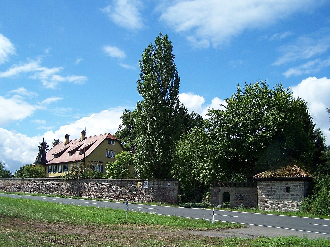
The castle ruin Todenwarth is the ruin of a late medieval hilltop castle at 270 m above sea level in the district of Schmalkalden-Meiningen. It is located within sight of a ford of the medieval military and trade route following the Werra valley (today Federal Highway 19 and mostly signposted as Meininger or Nürnberger Straße) on the northern steep bank of the Werra opposite the village of Wernshausen and belongs to the municipality of Fambach.
The earliest mention of a fortification "Warthe" on the hill protected by steep slopes occurred in 1185. The original mouth of the Schmalkalde was located below the castle rock of Todenwarth and marked an important border point of the "Breitunger Mark" with the "Schmalkalder Cent". In 1318, a consultation of the Thuringian counts and spiritual princes took place within its walls regarding the enforcement of the Landfrieden (public peace).
Despite extensive land sales, most recently in 1330, the former protectors of the Breitunger area, the Lords of Frankenstein (also referred to as "Counts of Frankenstein") were ruined and disappeared as a political power in the mid-14th century. In 1330, Count Berthold VII (1272–1340) from the Schleusingen line of the Counts of Henneberg acquired large parts of the territories sold by the brothers Siegbodo and Ludwig von Frankenstein.
For border security, a Landwehr (defensive line) was built in the 14th century, which protectively surrounded the Henneberg territories. Count Wilhelm III of Henneberg had the complex expanded into a toll castle in the mid-15th century. The road led through the two castle gates; within the castle grounds, goods were assessed and taxed. The castle garrison was commanded by the Wolff brothers from Schmalkalden, possibly experienced mercenaries or captains of the city guard from Schmalkalden. In 1432, the name "Tote Warte" (Dead Watch) was mentioned for the first time.
Current Situation+
The ancestral seat Todenwarth was acquired as a ruin in 1997 by Dr. Jochen Halbig, a descendant, and has been restored ever since. He received the Thuringian Heritage Protection Award in 2008 for his work. The "Freundeskreis Todenwarth e.V." (Friends of Todenwarth Association), founded in December 2005, promotes the monument-appropriate renovation and the processing of the family history. The "Todenwarth" is used as a venue for cultural events and is opened annually to visitors on Heritage Day.
Structural Aspects+
The medieval fortification has an area of 6600 m² and is only recognizable in remnants. The original complex includes parts of the curtain wall, a tower foundation, and cellars. Most of the buildings were destroyed in the 16th century (Peasants' War?) and in the Thirty Years' War and later only partially replaced by new constructions. In the wall, a now bricked-up gate with a smaller door can be seen. It marks the original access to the castle. The road once led across the castle courtyard and could be blocked by the gate guard. Until the mid-19th century, road tolls and chaussée fees were collected as levies; the former toll castle was already managed as an estate by the Wölffen von Todenwarth during this time.
In 1908, the current castle was built on the walls of the old castle.
Take Mobile History with you
You are reading this text for free. Premium adds what matters on the road: descriptions read aloud, sites found through your camera, whole regions taken offline.
- Every description, including the ~17,700 Premium sites
- Audio guide: have descriptions read to you on location
- AR finder: see sites through your camera, with distance and bearing
- Unlimited saved sites
14 days free, then from €2.99 a month. Cancel anytime.
Source: Wikipedia · Licence: CC BY-SA 4.0 · Image: Metilsteiner / CC BY-SA 3.0 via Wikimedia Commons
This description draws on the facts documented in the linked Wikipedia article; Wikipedia content is licensed under CC BY-SA 4.0. Wording and editing: Mobile History.
Location: 50.7211, 10.3624