The remains of the Castle can be visited
RuinAllendorf
Hohenfels Castle (Ruin) (Allendorf)
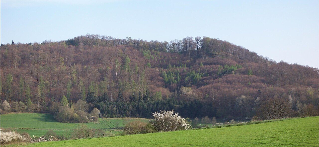
Hohenfels Castle, located between Allendorf and Buchenau in the municipality of Dautphetal in the district of Marburg-Biedenkopf (Hesse), was the ancestral seat of the Lords of Hohenfels. They were the local lords in the area of today's municipality of Dautphetal.
The hilltop castle consists of a double castle on the peaks of the Hohenfels and the Kleiner Hohenfels. It lies at an altitude of approximately 402 m above sea level. It is assumed that the castle complex was built in several construction phases. The western castle is considered the older part of the double castle. The western castle has a footprint of about 560 m², the eastern one of about 390 m².
The exact construction date of the castles is unknown. The castles were owned by the Lords of Hohenfels. The first mention of the family was in 1174 when a Ludwig von Hohenfels appeared as a witness for Landgrave Heinrich Raspe.
In a document dated July 29, 1249, Konrad, Gumpert, and Eckhard von Hohenfels, Volpert Hosekin, and Siegfried Slimph are named as lords of the castle. The Lords of Hohenfels sided with the Archbishopric of Mainz, which is why Hohenfels Castle was razed in 1293 under Landgrave Heinrich. According to archaeological findings, the castle was no longer used after the end of the 13th century.
For a long time, it remained undiscovered, as only a few parts of the former complex were visible. Since 1997, the Hohenfels Castle Association, with the help of the University of Marburg, has been dedicated to the research and preservation of the castle ruins.
Complex+
A few remaining wall fragments and parts of the castle's cellar vault are still visible. The complex is freely accessible and equipped with information boards.
Take Mobile History with you
You are reading this text for free. Premium adds what matters on the road: descriptions read aloud, sites found through your camera, whole regions taken offline.
- Every description, including the ~17,700 Premium sites
- Audio guide: have descriptions read to you on location
- AR finder: see sites through your camera, with distance and bearing
- Unlimited saved sites
14 days free, then from €2.99 a month. Cancel anytime.
Source: Wikipedia · Licence: CC BY-SA 4.0 · Image: Thomas Damm (Thomy3k 07:25, 15 April 2007 (UTC)) / CC BY-SA 2.5 via Wikimedia Commons
This description draws on the facts documented in the linked Wikipedia article; Wikipedia content is licensed under CC BY-SA 4.0. Wording and editing: Mobile History.
Location: 50.8569, 8.5922