The Roman Castle can be visited
Ancient BuildingMiltenberg
Roman Castle Miltenberg
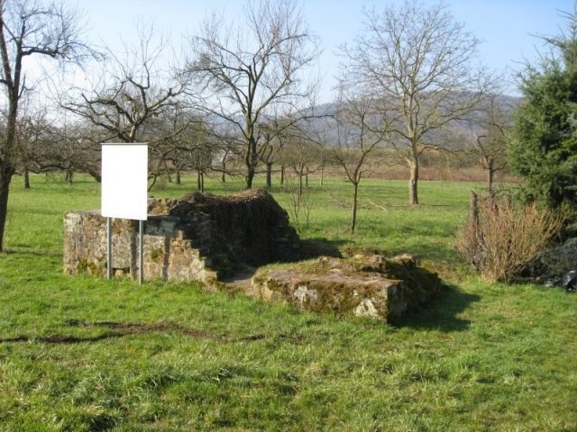
A stone fort of 2.7 ha for the Cohors I Sequanorum et Rauracorum and possibly another Numerus (Exploratio Triputiensis). The fort, oriented towards the river, was initially built in wood around 160 AD, and later in stone. The site likely existed until 260 AD. In the High Middle Ages, a town was founded in the ruins of the fort (Walehusen), but it was not permanent. The place name "Altstadt" (Old Town) and various wall remains date from this period. Excavations on behalf of the Imperial Limes Commission were carried out by W. Conrady from 1875-1892. Excavations by the State Office for Monument Preservation (B. Beckmann) took place from 1970-76 and 1988-1989.
The fort is located about 1 km NW of the city limits of Miltenberg between the railway line and the Main river. A Roman landing station is presumed on the riverbank, but has not yet been proven. The extent of the Vicus is also uncertain; it likely extended mainly west and south of the fort. Due to the flood-prone area, no favorable settlement area was probably available to the east in Roman times (possibly a shift in the river course due to straightening, etc.), and information is also lacking to the north.
The fort and especially the Vicus area are overlaid by a road embankment and railway lines. The outline of the fort is partly recognizable through modern road layouts and parcel boundaries (access road from the southeast, northern and eastern fort sides). The area of the archaeological monument is partly built over by commercial and individual buildings in the SE corner and in front of the NE corner. The majority of the relevant area is privately owned and not accessible. To the south, parts of the fort bath with their foundation walls are shown in outline.
Take Mobile History with you
You are reading this text for free. Premium adds what matters on the road: descriptions read aloud, sites found through your camera, whole regions taken offline.
- Every description, including the ~17,700 Premium sites
- Audio guide: have descriptions read to you on location
- AR finder: see sites through your camera, with distance and bearing
- Unlimited saved sites
14 days free, then from €2.99 a month. Cancel anytime.
Source: Wikipedia · Licence: CC BY-SA 4.0
This description draws on the facts documented in the linked Wikipedia article; Wikipedia content is licensed under CC BY-SA 4.0. Wording and editing: Mobile History.
Location: 49.7089, 9.2300