The remains of the Castle can be visited
CastleAlberndorf-Klamleiten
Klamleiten Castle
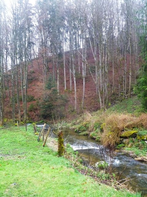
The castle ruin Klamleiten is the ruin of a hilltop castle in the identically named district of the municipality Alberndorf in the district of Urfahr-Umgebung in Upper Austria. The ruin stands to the right of the road leading from Reichenau to Riedegg on a rocky spur sloping down to the Gusen. No path leads to the ruin from the Gusental valley; instead, one must scramble up the hillside starting from the Hammerschmiede in Klamleiten.
The castle was first mentioned in 1292. In 1408, the "Tvrnlein pey der Gusen" (little tower by the Gusen) is mentioned. The fortification presumably served to protect the road. Its destruction can be attributed to the Hussites, who invaded the Mühlviertel in 1427 and conquered and destroyed many castles. However, it may not have been destroyed until 1477 by Emperor Frederick III.
Klammleiten Castle Ruin Today+
The complex consisted of a curtain wall and a mighty round tower. This tower has partially collapsed and presumably had three stories; today, only the beam holes of a first story remain. An entrance was formerly visible at the height of the first story. The masonry of the tower is 3.50 meters thick. It is made of smooth ashlar on the inside and outside, with the space in between filled with rubble and mortar (cast masonry). The ashlar blocks on the inside are slightly curved, forming a circular shape.
Below the tower towards Gusen are several terraces. On the uppermost one, the curtain wall once stood, its foundations protruding around the tower. Between the curtain wall and the tower, there were presumably residential and utility buildings, which are, however, hidden under the debris. The slope is strewn with partly hewn stones originating from the curtain wall. To the west, the castle was protected by a neck ditch.
Take Mobile History with you
You are reading this text for free. Premium adds what matters on the road: descriptions read aloud, sites found through your camera, whole regions taken offline.
- Every description, including the ~17,700 Premium sites
- Audio guide: have descriptions read to you on location
- AR finder: see sites through your camera, with distance and bearing
- Unlimited saved sites
14 days free, then from €2.99 a month. Cancel anytime.
Source: Wikipedia · Licence: CC BY-SA 4.0 · Image: http://commons.wikimedia.org/wiki/File:Alberndorf_in_der_Riedmark_-_Klamleiten_%28Burgruine_Klamleiten-1%29.jpg
This description draws on the facts documented in the linked Wikipedia article; Wikipedia content is licensed under CC BY-SA 4.0. Wording and editing: Mobile History.
Location: 48.4036, 14.3976