The remains of the castle can be visited
CastleFrickingen
Alt-Heiligenberg Castle
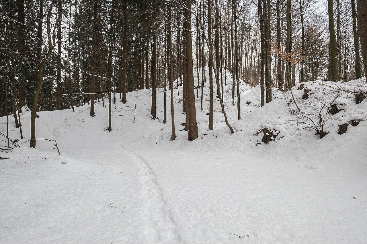
Burgrest Alt-Heiligenberg refers to the ruins of a spur castle at the site of today's observation pavilion at 726.7 m above sea level, near the municipality of Heiligenberg in the Frickingen district in the Bodenseekreis in Baden-Württemberg.
The Burgrest Alt-Heiligenberg is traditionally associated with Heiligenberg, but is located in the Frickingen district. It lies on a spur that slopes steeply on three sides, projecting southwest over the Salem basin.
The castle was probably built in the 12th century by the Counts of Heiligenberg, who established their seat here and made it the center of the Linzau and their County of Heiligenberg. This lineage was first mentioned between 1051 and 1069 with a Heinrich de Sancto Monte (= from the holy mountain). The castle itself can only be proven in 1163, when a local description mentioned the location of a village "prope castellum quod vocatur Berge, in qou C. Constantienensis advocatus, et frater suus comes H. habitant", i.e., below the castle called Berge, in which Konrad, Vogt in Constance, and his father, Count Heinrich, reside.
Around the middle of the 13th century, the Counts built another castle, Neu-Heiligenberg. It is mentioned in 1276 as novo castro Sancti Monte (= new castle of the Holy Mountain). However, Alt-Heiligenberg Castle was not subsequently abandoned, as it was still mentioned in 1307 and 1309 as "Sancto Monte castro antiqou" (= Alt-Heiligenberg Castle).
Finds from the castle area include medieval and prehistoric pottery shards, as well as a Celtic socketed arrowhead.
Layout+
The approximately triangular castle ruin lies on a spur and was protected by the slopes of the spur and a deep neck ditch. The southeastern part of the neck ditch was heavily disturbed in the 19th century by the construction of Karl-Egon-Platz, but is still clearly visible. The neck ditch is followed by an equally disturbed area, which forms a kind of outer bailey. Adjoining this area, a motte rises, extending across the entire width of the complex. The funnel-shaped tower remnant has a roughly rectangular shape and is about 15 meters wide. Wall remains are exposed within the tower remnant. Younger paths run around the entire complex, so precise statements about the original form are currently not possible.
Take Mobile History with you
You are reading this text for free. Premium adds what matters on the road: descriptions read aloud, sites found through your camera, whole regions taken offline.
- Every description, including the ~17,700 Premium sites
- Audio guide: have descriptions read to you on location
- AR finder: see sites through your camera, with distance and bearing
- Unlimited saved sites
14 days free, then from €2.99 a month. Cancel anytime.
Source: Wikipedia · Licence: CC BY-SA 4.0 · Image: Dietrich Krieger / CC BY-SA 3.0 via Wikimedia Commons
This description draws on the facts documented in the linked Wikipedia article; Wikipedia content is licensed under CC BY-SA 4.0. Wording and editing: Mobile History.
Location: 47.8277, 9.2952